


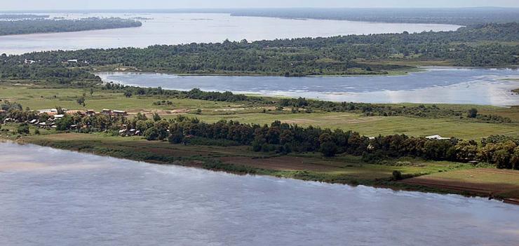
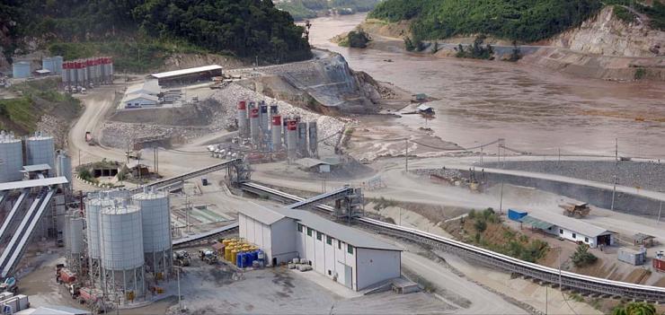
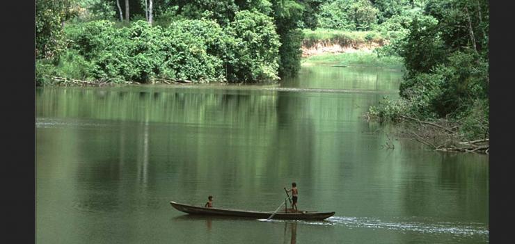
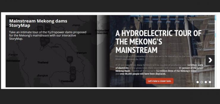
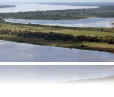
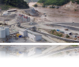
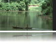

The recently launched Open Development Mekong (ODM) website has added an informative map tour of what’s in store for the Mekong River’s mainstream if construction plans for hydroelectric dams continue as currently proposed. The Lower Mekong Basin is a trans-boundary ecosystem shared by 6 countries providing a central livelihood and food security to 65 million people as the largest inland fishery in the world. The ODM tour provides information about eleven proposed large scale hydroelectric dams that are set to be operating on the Lower Mekong River's mainstream by 2021. If all dams are completed, these facilities will be capable of producing over 14 billion watts of electricity at any given time, their reservoirs will consume 55 percent of the Lower Mekong Basin, capable of storing up to 3.2 trillion liters of the Mekong's water, and over 80,000 people will have been displaced.
Open Development Mekong is an important part of EWMI’s Open Development Initiative (ODI). ODI supports an open data and information platform that uses visually compelling mapping data to track development trends on a country and regional level, including mapping the effects of deforestation over decades in time-lapsed animation maps. The ODI network is designed to advance openness and transparency to the broad benefit of society without promoting a particular perspective, agenda, or bias.
Open Develoment Mekong