


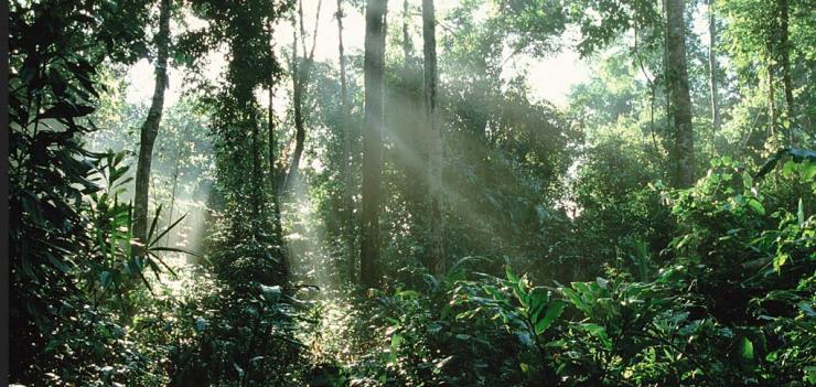
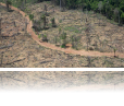
East West Management Institute’s Open Development Initiative (ODI) and World Resources Institute (WRI) are teaming up to monitor and fight deforestation, protecting the lives of 70 million people living along the Lower Mekong Basin.
EWMI's ODI supports an open data and information platform that uses visually compelling mapping data to track development trends on a country and regional level, including mapping the effects of deforestation over decades in time-lapsed animation maps. The ODI network is designed to advance openness and transparency to the broad benefit of society without promoting a particular perspective, agenda, or bias. The flagship site of this initiative is Open Development Cambodia.
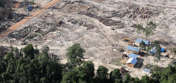
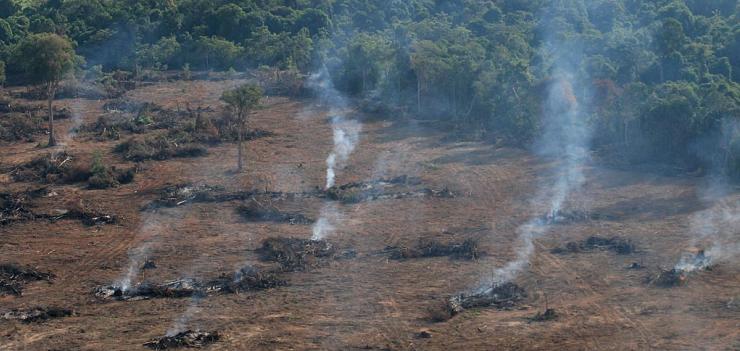
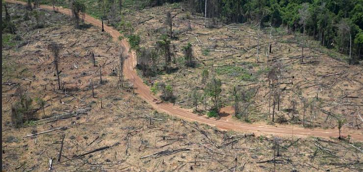
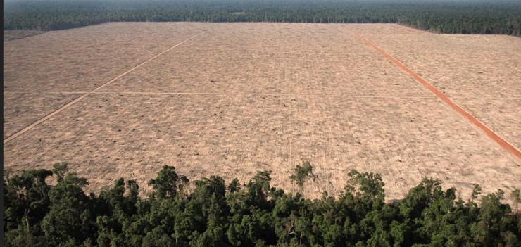
The World Resources Institute’s Global Forest Watch is an online forest monitoring system that unites satellite technology and almost real time forest clearing alert systems to create never-before transparency on a global scale. By combining this real time data and displaying its effects in visually compelling maps that create context over time the two organizations hope to empower NGOs, the media, the progressive public and private sector leaders to hold governments and companies more accountable for forest conservation and sustainable management.
ODI’s Forestry initiative has already affected government policy. In late 2013, it published a map series of animated forest cover change maps in English and Khmer illustrating the extent and rate of reduction in Cambodia’s forest cover over 40 years (http://www.opendevelopmentcambodia.net/briefings/forest-cover/) along with complementary charts, news, laws and publications. This forest cover change page represented a new technical tool, produced by Cambodians, to help understand environmental changes and inform development planning. Until this page was launched, no attempt had been made to track changes in Cambodia’s forest cover over such an extended period.
The maps attracted important press coverage, making headlines in the Phnom Penh Post on the day after publication and the following day in the Cambodia Daily. It was discussed on a Khmer-language Cambodian TV program offering news analysis. Conservation groups praised ODC privately, with Wildlife Alliance planning to use the animations in upcoming discussions with the new Minister for Environment. Several organizations thanked us for the maps and described plans to use the maps as teaching or advocacy tools.
The Cambodian Ministry charged with providing this information has long been questioned by NGOs for not updating their forest cover maps since 2006. When ODI published its forest cover change maps in December 2013, this government ministry publicly critiqued them on a technical basis, but also offered explanations as to why it had not released forest cover maps, and stated it would do so by 2015. This suggests government is becoming more attuned to the idea that public expectations regarding access to information is increasing – and that the provision of information by an independent organization can increase public demand and government response. When information is made available, questions about development policy direction, and posited alternatives, can be advanced.